Our History
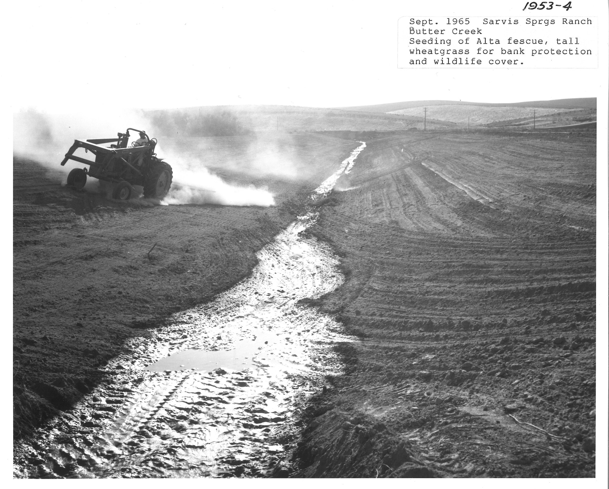
Umatilla County SWCD, established in 1974 with the consolidation of the West, Southern and East Soil Conservation Districts, encompasses the whole of Umatilla County, Oregon. Umatilla County has a population of 70,900 and encompasses 3,231 square miles and is bounded by the Columbia River on the north, Morrow County on the west, Grant County on the south, and Union and Wallowa Counties on the east. Lying to the southeast is The Umatilla Indian Reservation which was established by the Treaty of Walla Walla in 1855.

The Umatilla County Soil and Water Conservation District takes the lead in soil and water conservation throughout Umatilla County by working with urban and rural property owners, operators, public officials, various state and federal agencies, and private organizations. This District believes in the protection, conservation, and improvement of soil and water through our employees’ and directors’ abilities to plan, assist, and educate. It is our belief that concerns about water quality, water quantity, wetlands, soil erosion, and weed management be addressed while simultaneously respecting the private property rights of the property owner and operator. These concerns are addressed through the District Business Plan and by maintaining existing agreements with the various agencies that work with this District.
